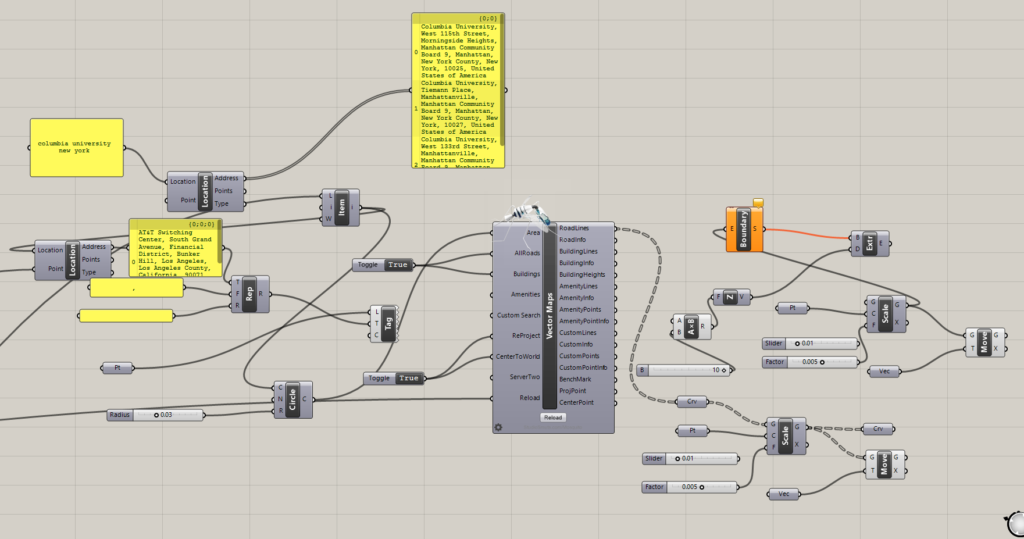
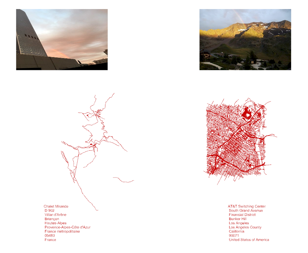
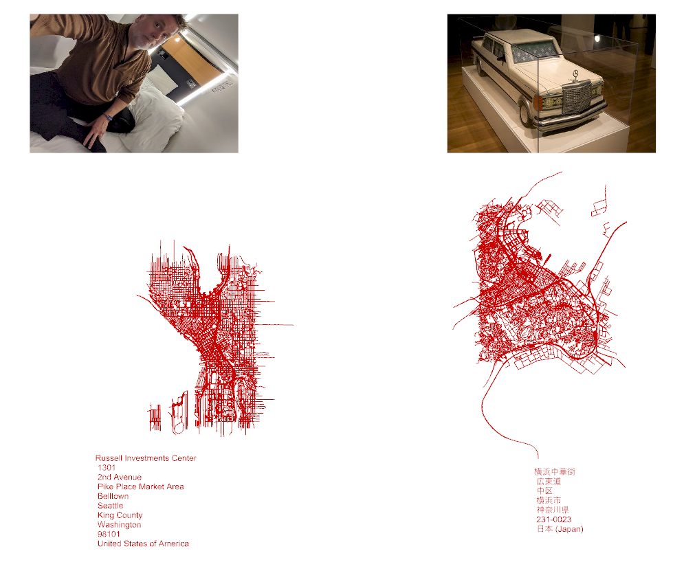
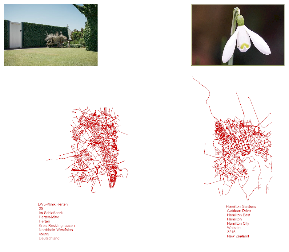
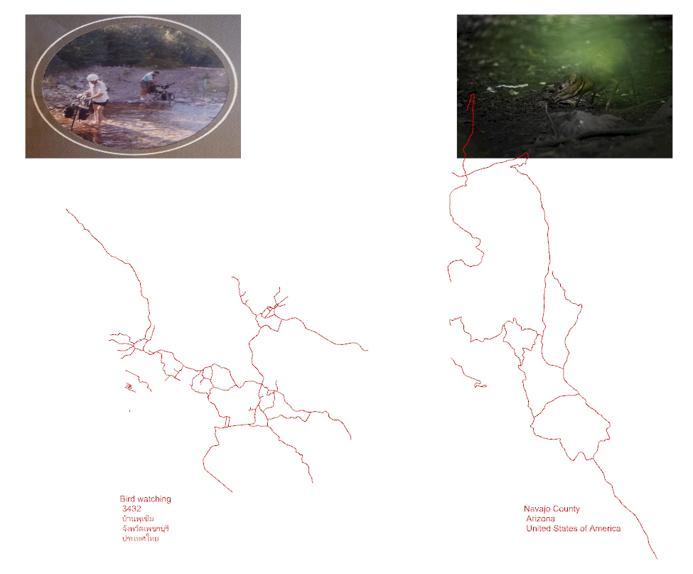
Last week we learned basics of integrating outside data into Grasshopper, briefly touching on a plugin called Mosquito. I immediately became interested in it and mostly the ability to pull photos and get location tags.
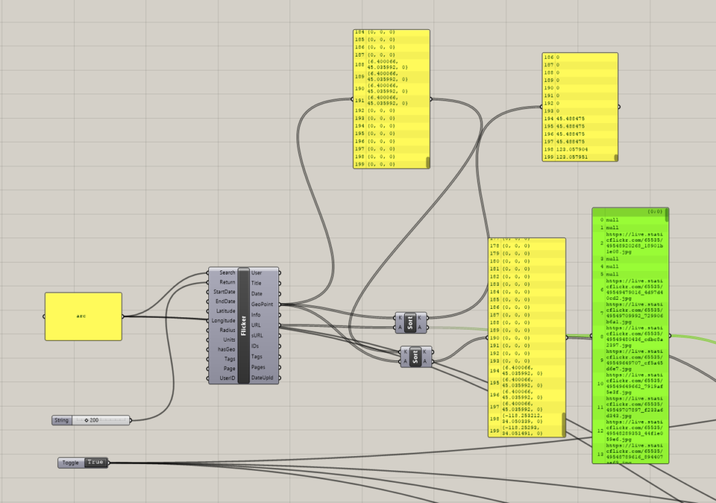
I started Querying Flickr and getting interesting results for certain terms. Especial just one result for same word next to another. But not all the images had location data on them. I found that on average 2% of images have Geotags on them. If you pull at least 300 images at the minimum you will get at least 2 Geotags if not 12 or more.
Once I figured this out I could start to come up with a system to sort images and their Geo-tags. I used multiple Sort functions, I liked that it allowed me to pass a second list through that would get sorted alongside it. This allowed me to make sure the URLs of each image were correlated.
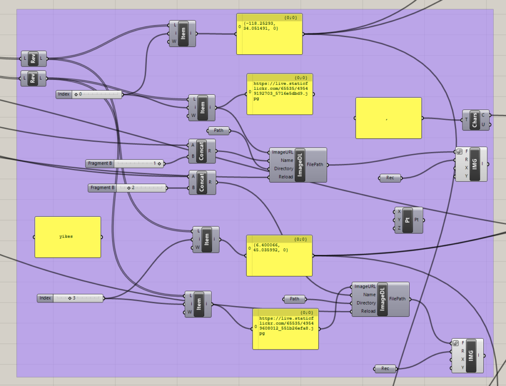
From there I parsed out Lat and long coords to a format that could be read. Working with strings can be a bit of a pain but once I learned where all the tools were it became easier. A problem I initially found was at the end of the sort I would choose the number 0 and number 1 results, but often if there were multiple pictures posted on the same day they would show up as the sort uses the first lat coordinate. This unfortunately led to the pictures often being the same and the locations also being the same. So I increased the pull size of results to allow and average spread of at least 4 so I can take results 0 and 4 and get two places in very different places across the globe
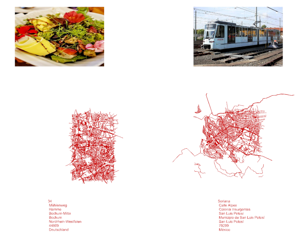
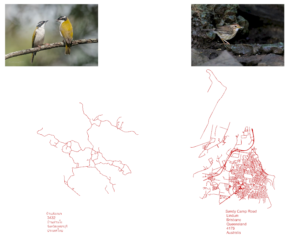
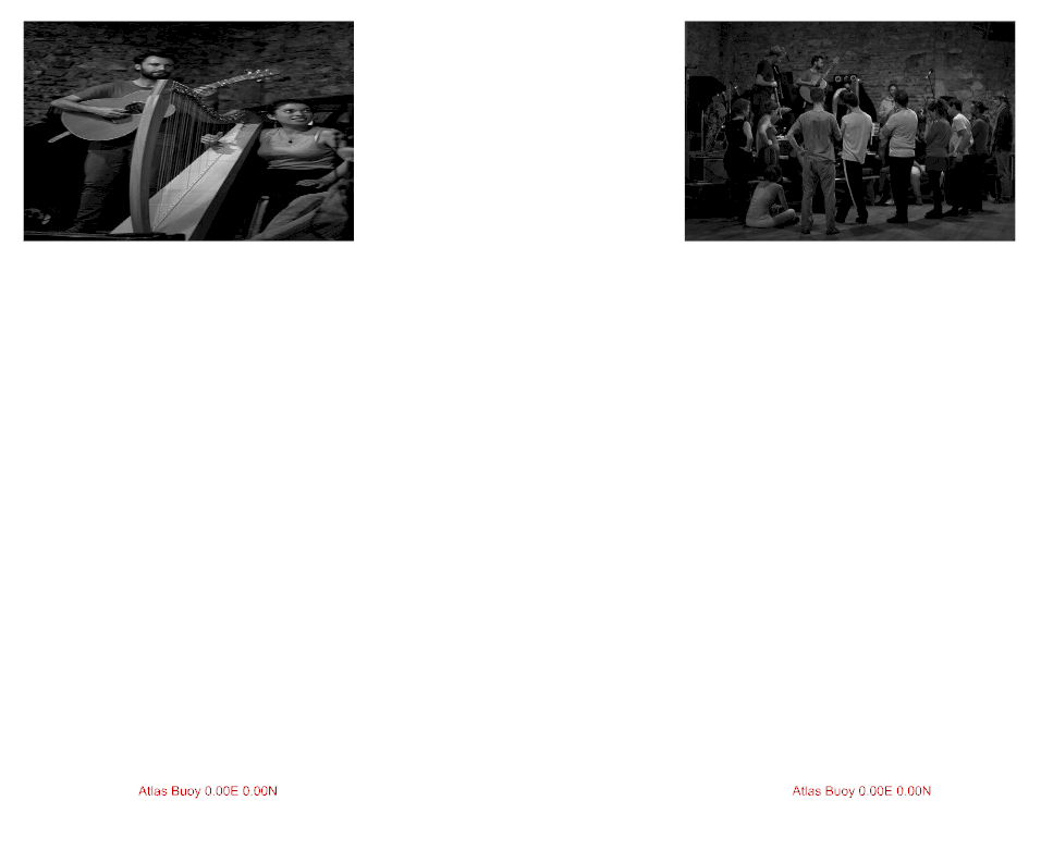
Here are my results with captions for what search term was used. I just choose random words that popped in my head. It works best with a single simple word. More often then not you will get things that have absolutely nothing to do with the term and it is even more funny. My favorite term was Coffin and Tango. For the word Trance no images had Geo-tags so the sort ended up displaying two images of the same set. Google though will give lat long of 0, 0 to the Atlas Buoy in the ocean.
